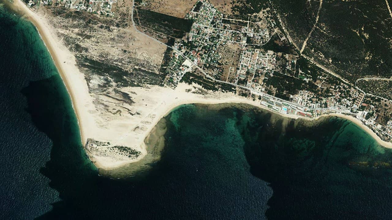
Playa de los Caños de Meca
Espagne · Andalusia
Playa de los Caños de Meca, in Los Caños de Meca, Andalusia, is a popular spot for its waves and its well-exposed coastal spot ambiance. It’s a playground well-known to riders who accept a bit of relief in the water and are looking for a more engaging session than pure flat.
In summer, the beach is crowded and the practice may be supervised by a reserved area, which requires clean navigation from the moment of entry. The spot remains particularly interesting when the conditions are well-oriented, with a bottom and access that require a minimum of attention.
The available feedback converges towards a spot of intermediate level, with a real wave dimension and safer areas near Playa de Marisucia for access to the water. The area is also described as more suitable when the wind is strong elsewhere on the coast, making it a good fallback option around the bay of Tarifa and Cadiz.
Médias históricas por mês — não é uma previsão ao vivo.
The spot mainly works with a wind from the East to Southwest, and local and specialized sources confirm a good range of directions with ESE, SE, SSE, S, SSW, and SW. On this coast, the wind is generally cleaner when it arrives with enough cross, which provides the best compromise between control and safety, while too much offshore wind quickly degrades navigation.
The water is typically more formed with swell, with a functioning oriented towards wave. At low tide, several sources report that rocks or more technical areas may appear, while the most interesting access is near the dune of Playa de Marisucia, considered the safest entry and exit point. This is where one should organize the launch and landing, staying within the authorized area when it is marked in season.
The spot is less comfortable when the beach is very crowded or when the sea builds up with poorly oriented wind. Navigation remains possible over a wide beach, but one must keep a margin from the rocks and avoid drifting into less readable areas, especially if the current and chop strengthen. For an autonomous rider, it’s an interesting spot, but it requires a clean reading of the terrain and tide timing.


 Abrir previsões Windguru