Plage de Kersidan
France · Bretagne
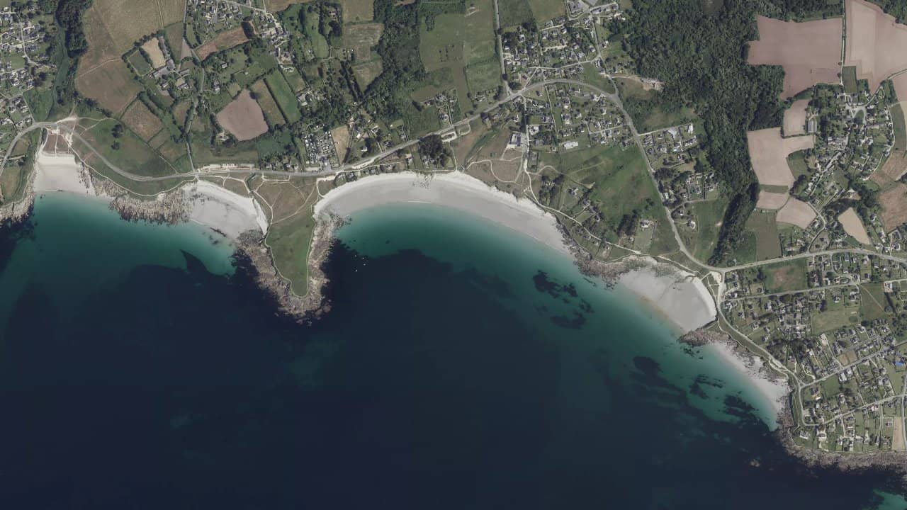
Kersidan beach, located in Trégunc in southern Brittany, is a small cove of fine sand framed by rocks at both ends. It is a popular spot for local kiters due to its consistent wind and its nautical base in summer that livens up the area.
Long and exposed to the west, it offers a typical setting of the Brittany coast with its moderate waves and clear water. You often encounter schools like Kite Pour Tous for beginner or advanced sessions.
The atmosphere is relaxed, with food available on-site and easy access from Concarneau.
Historische Monatsmittel — keine Live-Vorhersage.
The spot works well with winds from W to +20 knots up to SE, ideally side-on from WSW or W which side-shores the west-oriented beach. The water surface offers a mix of flat in pure side-shore and small to medium waves when the wind comes more offshore from the SE.
Launching takes place in a medium-sized area in the center of the sandy bay, but be cautious of the rocks at the ends. The launch area is the same, accessible at low tide where the beach is wide, but to be avoided at high tide as the beach almost disappears and the wind shadow forms near the shore.
Navigation outside the bay for more space, with rideable waves up to medium in WSW. Tides have a strong influence: low tide for flat and space, high tide for waves but risky for launching.
Quellen :unplug-kitesurf.com · sportihome.com · kitejungle.com · tourismebretagne.com · nautismebretagne.fr


 Windguru-Vorhersage öffnen