Pointe de Saire
France · Normandie
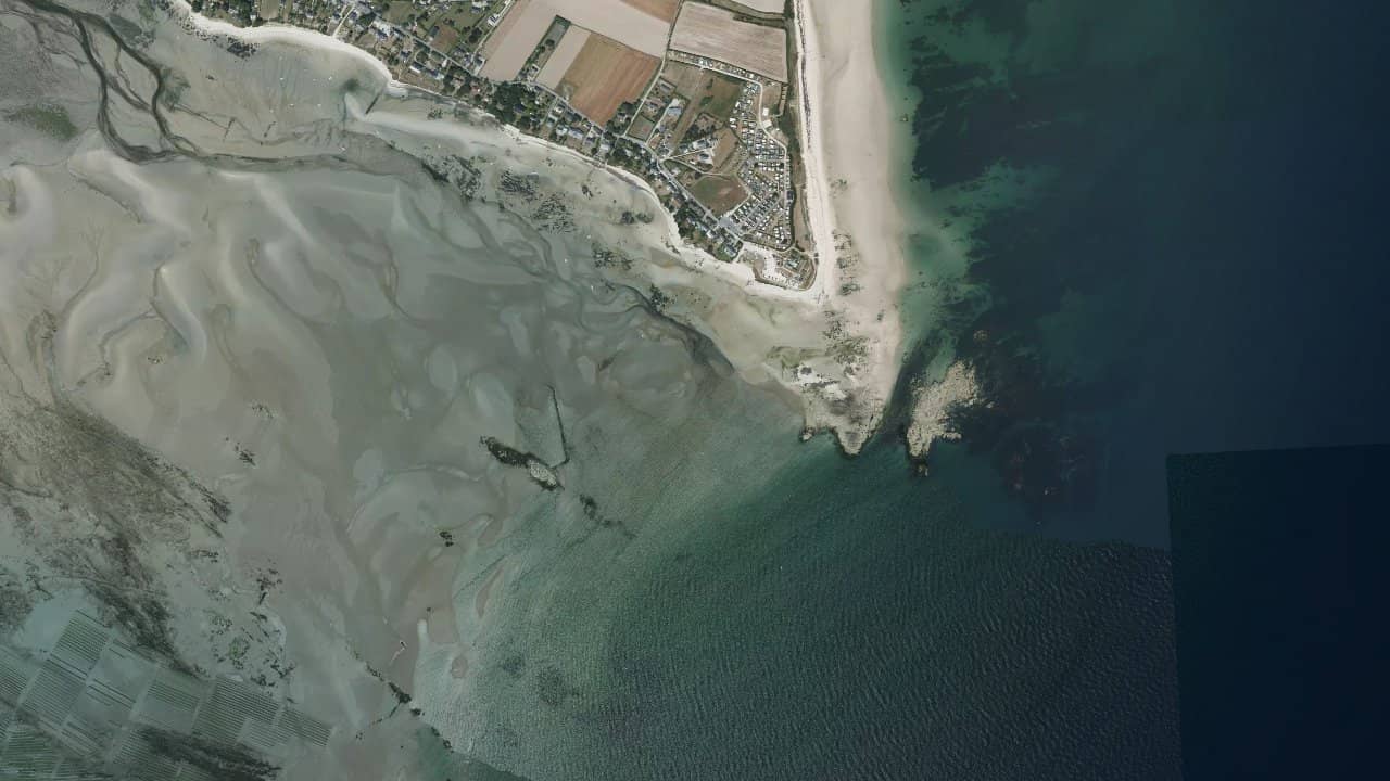
The Pointe de Saire in Jonville, Normandy, is an exposed spot at the tip of Val de Saire, facing the island of Tatihou. Located in the municipality of Réville, it offers direct access to long sandy beaches that stretch for several kilometers. It is a popular playground for kitesurfing, with a local sailing club that organizes sessions.
The two small beaches of Jonville are oriented south and north, perfect for capturing different winds. The setting is natural, with a view of the UNESCO-listed Vauban towers, and a campsite right next door for extended stays. Riders come here for the space and the friendliness of the events organized by the Club Nautique de la Pointe de Saire.
Médias históricas por mês — não é uma previsão ao vivo.
The Pointe de Saire works well with NE winds for surfing and waves, or NW for side-shore freeride. The orientation of the point allows for a sheltered water surface in side-on with prevailing north-west winds, while the onshore from the south-east creates moderate chop. Launching is easy on the fine sand, with a wide take-off area on the main beach.
Depending on the tides, the water surface goes from shallow at low tide to more open at high tide, with small to medium waves from the NE. The navigation area extends along the 7 km of beach, but stay clear of the channel to Tatihou. Local features include foiling and wingfoiling which excel here due to the shallow depth, and the club offers guided sessions for kites and boards.
The spot is easily accessible from the campsite parking, with a free launching ramp for boats. Be careful of foot fishing zones at low tide which reduce the navigation space near the shore.