Plage de Barneville
France · Normandie
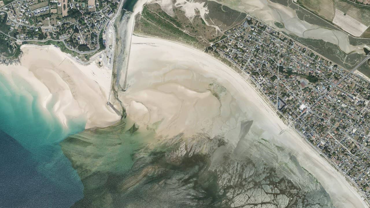
Barneville beach, located on the coast of the English Channel in Normandy, is a long stretch of sand facing the Channel Islands. It is a spot frequented by locals and sailing schools for kitesurfing and other sliding activities.
The beach extends towards Carteret and the old church, offering wide sandbanks and convenient access from the seaside resort. Local structures for rentals and schools animate the area.
Médias históricas por mês — não é uma previsão ao vivo.
The dominant wind is from the West/Northwest, which generally provides a side-shore to side-onshore wind from the beach depending on local orientation and tide. Navigation heavily depends on the tide: at low tide the bay reveals widely and the spot can become unusable at the edge due to the wide sandy flat, while at high tide the depth becomes sufficient again for launching and navigation.
Navigation areas are wide on the main waterfront between Barneville and Carteret; launching takes place from the main sandy beach and there are areas frequented by schools near the nautical center of Carteret. Avoid areas close to the access channels to the port and respect swimming zones during the season. The spot is generally open, with no major reefs at the central part of the beach, but rocks or obstacles may emerge in the northern edge depending on local configuration.
Local particularities: the bay is sheltered by the Cape of Carteret and the influence of the Gulf Stream keeps the water relatively warm for the latitude; managing the tides is crucial and local schools emphasize planning sessions according to high tide times.