Monitor-Merrimac Overlook Park
États-Unis · Virginia
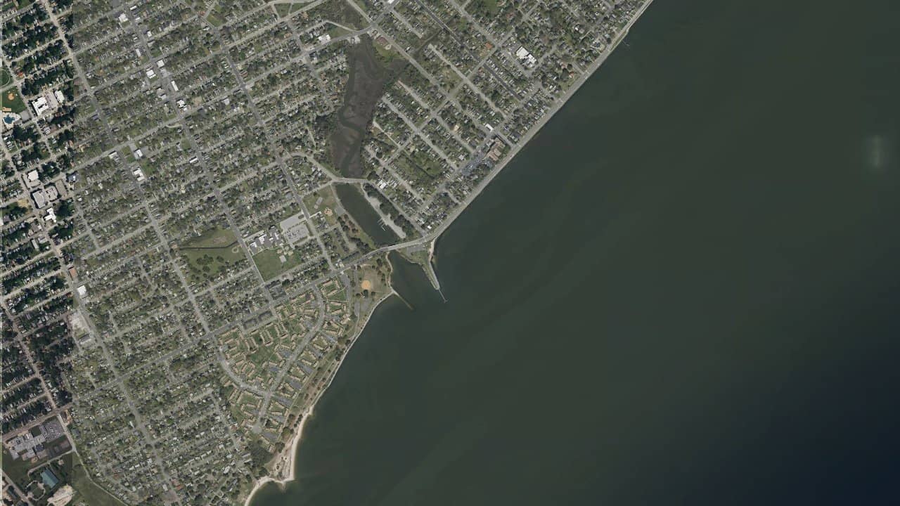
Monitor-Merrimac Overlook Park, near Newport News in Virginia, is a popular bay spot for its easy access and location on the James River. It's a convenient place to kitesurf when the wind is well established and you're looking for an easy session to organize.
The spot mainly attracts riders who enjoy river and bay waters, with navigation often more relaxed than on the ocean. The atmosphere remains local and functional, with an urban setting close to Hampton Roads.
The wind works best when oriented side-shore to side-on, depending on the direction of the flow on the shore and the exact exposure of the spot. The site is suitable for bay water navigation, with a generally cleaner water surface than in very exposed areas, but it can become more irregular if the wind comes across the river. Launching is done from the park's shore, with a preparation space to check before rigging, as the area can be frequented by fishermen and walkers.
At tide, the spot can remain navigable, but conditions change depending on the water level and current in the James River area. The best navigation area is found by keeping space offshore from the immediate shore to avoid disturbances near the bank and local traffic zones. For a rider, it's an interesting spot when you want a simple and accessible session, but you need to check the wind orientation before heading out as the site's exposure is not that of a large open beach.
