Access Rd No 1
États-Unis · Texas
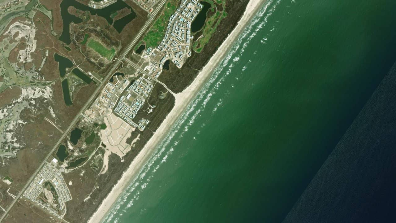
Access Rd No 1, on Mustang Island off Port Aransas, is a simple and direct beach access to the Gulf of Mexico. It is a popular spot for its easy launch and proximity to the city.
The area is known for its practical atmosphere, with car access on the sand and enough space to prepare equipment near the vehicle. It is a spot that works well for riders looking for a quick and efficient session.
The local confirms a kitesurf-oriented spot, with no further details on the morphology, which corresponds to feedback from spot guides describing a busy access, open year-round and suitable for navigation along the Gulf coast.
The wind is generally side-on to onshore with SE flows on this stretch of the Gulf coast, making takeoff and return quite natural for kitesurfing. The spot is exposed offshore, with a sandy beach that allows for direct takeoff from the shore, without a long approach walk.
The water surface is most often choppy under southeast winds, with moderate swell and sometimes small waves when the wind and sea strengthen. Available feedback describes a gradual sandy bottom, small to moderate waves, and conditions that are generally navigable year-round, with better windows from October to July.
Navigation mainly takes place in the open beach area facing the Gulf, while remaining attentive to vehicle passages on the sand and seasonal traffic. Launching is direct from the beach, with practical preparation space near the vehicle, but it is important to monitor the launch area as access is popular and beach traffic can be present.
At tide, the spot is still reported as little dependent on the tide, which simplifies session organization. The best windows remain periods of steady wind with a clean water surface before the sea forms too much, especially during morning or late afternoon slots.
