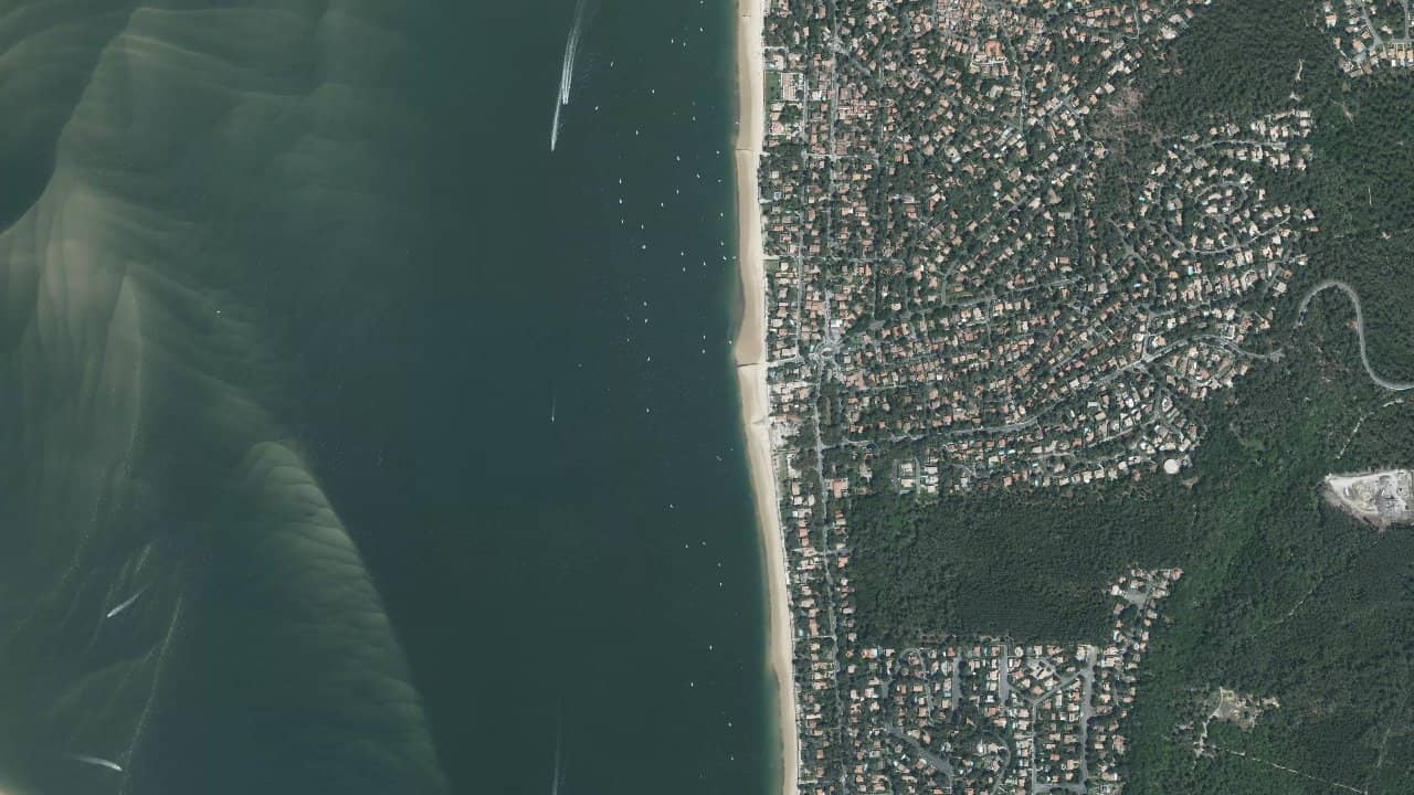
Plage de Pyla sur Mer
France · Nouvelle-Aquitaine
The Pyla sur Mer beach in La Teste-de-Buch, Nouvelle-Aquitaine, is a large stretch of sand facing the Atlantic Ocean, at the foot of the Dune du Pilat. It is a spot known for its wide beach that facilitates equipment setup and attracts riders looking for freeride sessions.
Close to the Arcachon basin, it offers a mix of oceanic conditions with consistent winds and easy access from the parking lot. Locals appreciate its wild atmosphere and views of the iconic dune.
In the low season, the entire beach is open for kiting, but summer imposes restrictions for swimming and safety.
Historical averages by month — not a live forecast.
The Pyla sur Mer beach is oriented west, ideal for side-on or side-shore winds coming from the southwest, west, or northwest, which come in perpendicular or slightly sideways to the beach. Direct onshore winds from the west are powerful but can be gusty near the dune. The water entry is directly from the wide sand, with a launch area on the beach in low season; in high season, you need to walk to the marked areas north or south of the Corniche to avoid bathers.
The water surface is choppy to wavy depending on the tide and swell: at high tide, you can navigate for 3 hours before and after with open space, standing possible for 1 km in certain areas; at low tide, sandbanks appear but be cautious of rip currents and the ferry channel. The navigation area extends several hundred meters offshore, heading well upwind to avoid the port and the downwind channel. Practice far from moorings, anchored boats, and the dyke to the north.
Local feature: the spot is accessible year-round but regulated from June 25 to September 5 with dedicated landing zones; check the buoys and signs on site. Cold ocean water, no pure flat but good for freeride and foil in calm conditions.
Sources :vvanat.fr · h2okite.com · lepyla.com · alexkite.com · latestedebuch.fr


 Open Windguru forecast