Plage de Gouberville
France · Normandie
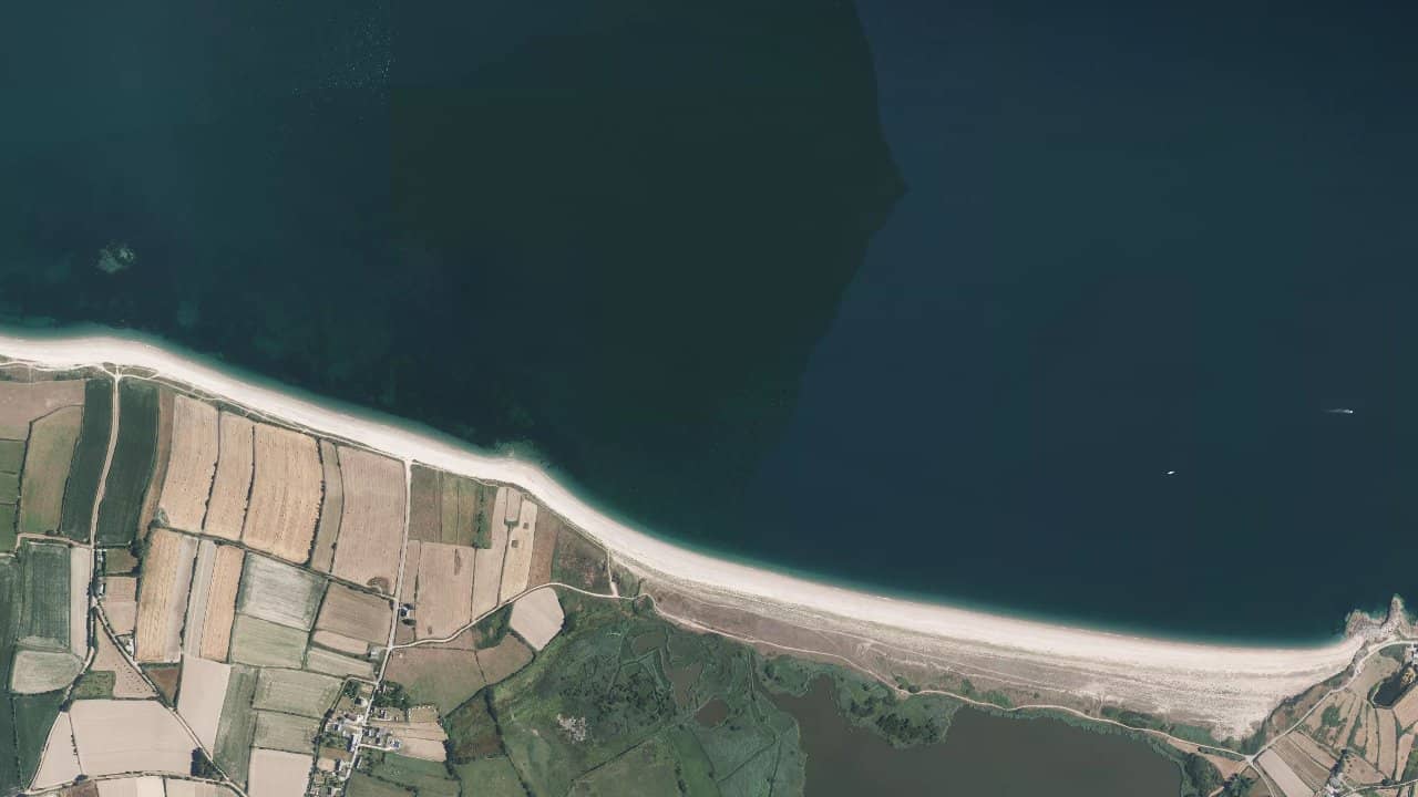
The beach of Gouberville (Gattemare), located on the coast of the English Channel in Normandy, offers a vast sandy front frequented by local schools and riders from Cotentin. The spot is known for its large expanses at low tide and its access from the Pôle Kitesurf Normandie right on the beach.
The setup is simple and functional, appreciated by locals for its accessibility and the possibility to ride on flat surfaces when the sea recedes.
Historical averages by month — not a live forecast.
The dominant wind mainly comes from the west and northwest, which gives a rather side-shore / side-on orientation depending on the exact point of the beach and the tide. Launching is done from the sand near the accesses of Pôle Kitesurf Normandie and the nearby campsite; there are wide beach areas to prepare and launch the kites. The water surface varies greatly with the tide: at low tide, there are large shallow and relatively flat areas suitable for freeride and freestyle, while at high tide the sea can bring the navigation area closer and create more chop and small waves. The main navigation areas are centered in front of the main access, and it is better to avoid approaching rocky areas or outflow channels identified by locals. Local schools use marked sectors for lessons, and the launch area is usually organized near the parking/dune to avoid crossings with bathers in season.