Plage de Ver-sur-Mer
France · Normandie
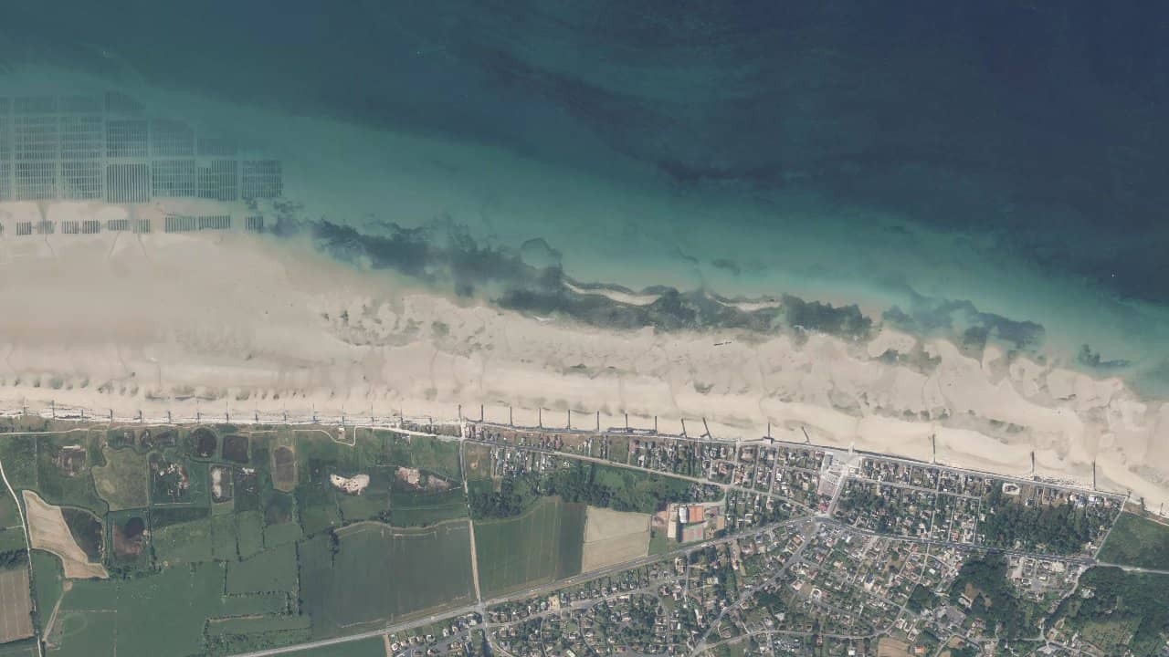
The beach of Ver-sur-Mer, located on the Côte de Nacre in Normandy, offers a wide and open space facing the English Channel. It is a calm spot favored by riders for its shallow bottom and varied conditions depending on the tides.
Close to Langrune-sur-Mer and Cabourg, it attracts local kite schools like Voiles de Nacre or Le Menhir Normandie Kite. The atmosphere is relaxed, with easy access from Caen or Deauville.
Riding is possible year-round, especially when the north-west wind picks up on this west-facing beach.
Historische Monatsmittel — keine Live-Vorhersage.
The beach of Ver-sur-Mer is west-facing, making it an ideal spot for side-on winds from the north-west or west, which are most frequent in Normandy. The side-shore wind allows for stable sessions for freestyle or surf-kite. At low tide, the water surface becomes flat to light chop on a shallow bottom, perfect for learning and jibes. At high tide, small waves form, ideal for moderate wave riding.
Launching is done directly from the sandy beach, wide and without major obstacles. The launch area is spacious to the north of the beach, far from bathers in season. Stay offshore from the central channel to avoid currents, and navigate between 100 and 300 meters from the shore where the water remains navigable. Normandy tides are significant, with a tidal range of 6 to 8 meters, so always check the times to enjoy the sandy plateau at low tide.
Local feature: the spot is not crowded outside of summer, but respect the marked areas near Langrune. Nearby schools offer equipment and supervision, making the place safe for progression.