Kiteloopers - Kitesurfing spots, trips and destinations worldwideKiteloopers - Kitesurfing spots, destinations and kite trips worldwide
MapDestinationsBlog
Log in

Projekt

  • Über uns
  • Kontakt

Rechtliches

  • Bedingungen
  • Datenschutz
  • Cookies
  • Impressum
  • Support

Community

  • Spots
  • Blog
  • Schulen
  • Lehrer
  • Unterkünfte
  • Reisen
  • KiteMarket

Soziales

  • Instagram
  • Facebook
© 2026 Kiteloopers — Alle Rechte vorbehalten
Malo-les-Bains

Malo-les-Bains

Plage de Malo-les-Bains

France · Hauts-de-France (Nord)

Mittel
Oct → Mar
21.7 kn
↓ Kabbelig
↑ Kabbelig

Malo-les-Bains

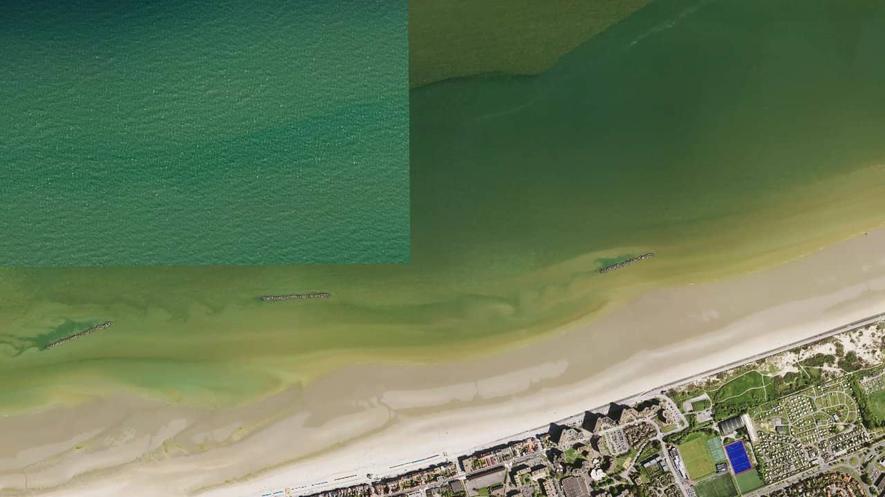
Located to the west of Dunkirk, the Malo-les-Bains beach is an iconic but demanding spot on the northern coast. Bordered by a long urban dike and very busy in season, it offers typically northern navigation, exposed to the winds of the North Sea and strong tides. Less wild than Leffrinckoucke or Zuydcoote, Malo-les-Bains attracts with its accessibility but imposes a rigorous and supervised navigation. It is a spot appreciated by experienced local riders, capable of offering great engaged sessions when the conditions are well chosen.

Live-Wind & Vorhersage

Windy
Windguru-Vorhersage öffnen

Klimastatistiken — Monatsmittel

Historische Monatsmittel — keine Live-Vorhersage.

Standort

Detaillierte Informationen

Navigation takes place in open sea, with a strong influence from the tides and a beach whose width varies considerably. At low tide, the beach widens and allows for more comfortable launches. At high tide, the space becomes very limited, making practice more technical. The wind is mainly oriented from west to northwest, often side to side-onshore. The water is choppy to rough, with the formation of short and sometimes messy waves depending on the wind and swell.

Auf der Karte ansehen
Mobile app

Kiteloopers in your pocket

Spots, live weather, sessions & community.

Scan to download the app

App StoreGoogle Play

Risiken & Sicherheit

  • Very busy spot in the summer season: strict respect for authorized zones and times.
  • Navigation not recommended with onshore wind due to the dike.
  • Tide-related currents can sometimes be powerful.
  • Strong wind and choppy water: minimum intermediate level recommended.
  • No dedicated rescue: autonomous navigation is essential.

Segelbedingungen

Flut
Wassertyp
chop
Tiefe
Stehtief
Befahrbarkeit
Ja
Ebbe
Wassertyp
chop
Tiefe
Teilweise
Befahrbarkeit
Tech.

Idealer Wind

NENOONNESO

Spots in der Nähe

Auf der Karte ansehen

Lädt…

Bewertungen der Kitesurfer

Chargement des avis...
← Zurück zur Suche
Auf der Karte ansehen