Plage du Grand Crohot
France · Nouvelle-Aquitaine
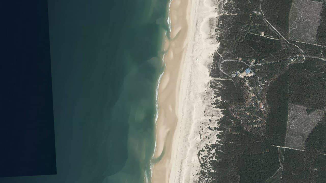
The beach of Grand Crohot, located on the Lège-Cap-Ferret peninsula in Nouvelle-Aquitaine, stretches for several kilometers of fine sand along the Atlantic coast. Bordered by high dunes accessible by wooden paths, it offers a wild and preserved setting, with a historic blockhouse visible on the beach.
It is a spot appreciated by riders for its dedicated kitesurfing area in the southern part, where the constant winds create favorable conditions. Local practitioners share a relaxed atmosphere, between sessions and walks along the shore.
Close to the Arcachon Bay, the beach also attracts surfers and families, with a large parking lot for 1500 vehicles and surveillance during the summer season.
The beach of Grand Crohot faces the Atlantic Ocean, exposed to winds from South to North, with a preference for SW and NW sectors that come in side-on or side-shore from the left of the beach, favoring a good pull and stable sessions. The dedicated kitesurfing area is located in the southern part, where there is ample space for launching and entering directly from the sand.
The water surface varies greatly with the tides: at low tide, sandbanks form shallow baïnes ideal for riding in shallow water, but waves can be large elsewhere; at high tide, the shorebreak makes entry technical and risky, with a choppy water surface and powerful waves. Prefer mid-tide for riding in the baïnes, where the water is calmer and you can stand for a good distance.
The beach is 15 km long, offering space for tricks far from the shore, but be careful of monitored swimming areas in summer. Launching takes place on the dry sand of the dunes, with a regular thermal wind in the afternoon during the season.
Quellen :fr.aroundus.com · unplug-kitesurf.com · franceplages.fr · allosurf.net · cap-ferret-kiteschool.fr · spots.guru