Tree of Charlotte Beach
Bahamas · Harbour Island
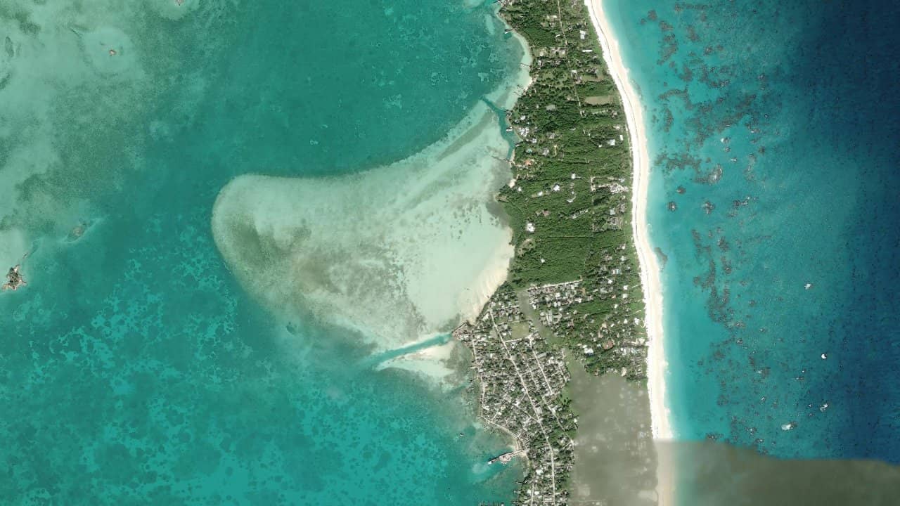
Tree of Charlotte Beach, a Harbour Island, is a spot known mainly for its postcard-like setting and tranquil atmosphere. The beach is part of the most photogenic areas of the island, with the landmark of the Lone Tree and the large pink sand beaches on the east coast of Harbour Island.
For kitesurfing, it is a spot that attracts when the wind comes in well on the northeast or east coast of the island, with space to maneuver depending on the tide. The atmosphere remains calm, but it should be kept in mind that the area is primarily a beach frequented for its scenery and not a designated kite spot.
Historische Monatsmittel — keine Live-Vorhersage.
The spot mainly works with a wind from NE to E, often in side-on to side-shore depending on the exact angle and the portion of beach used. The water is generally easier when the sea is regular, with moderate surf on the edge and smoother areas a bit offshore. Launching is done from the sandy beach, with a launch area to prepare properly as the space can quickly be occupied by walkers and swimmers.
The best navigation areas are where the beach is most open, staying far enough offshore to avoid foot traffic and depth variations. At low tide, navigation can become more technical near the shore if the bottom becomes more exposed and if small waves break on the sand. At high tide, access is simpler and the launch more comfortable, with often cleaner water for going upwind.
The spot requires careful monitoring of the available space for launching and landing, especially if the beach is busy. As it is an open seaside beach, conditions can change quickly if the wind shifts or if the swell increases.


 Windguru-Vorhersage öffnen