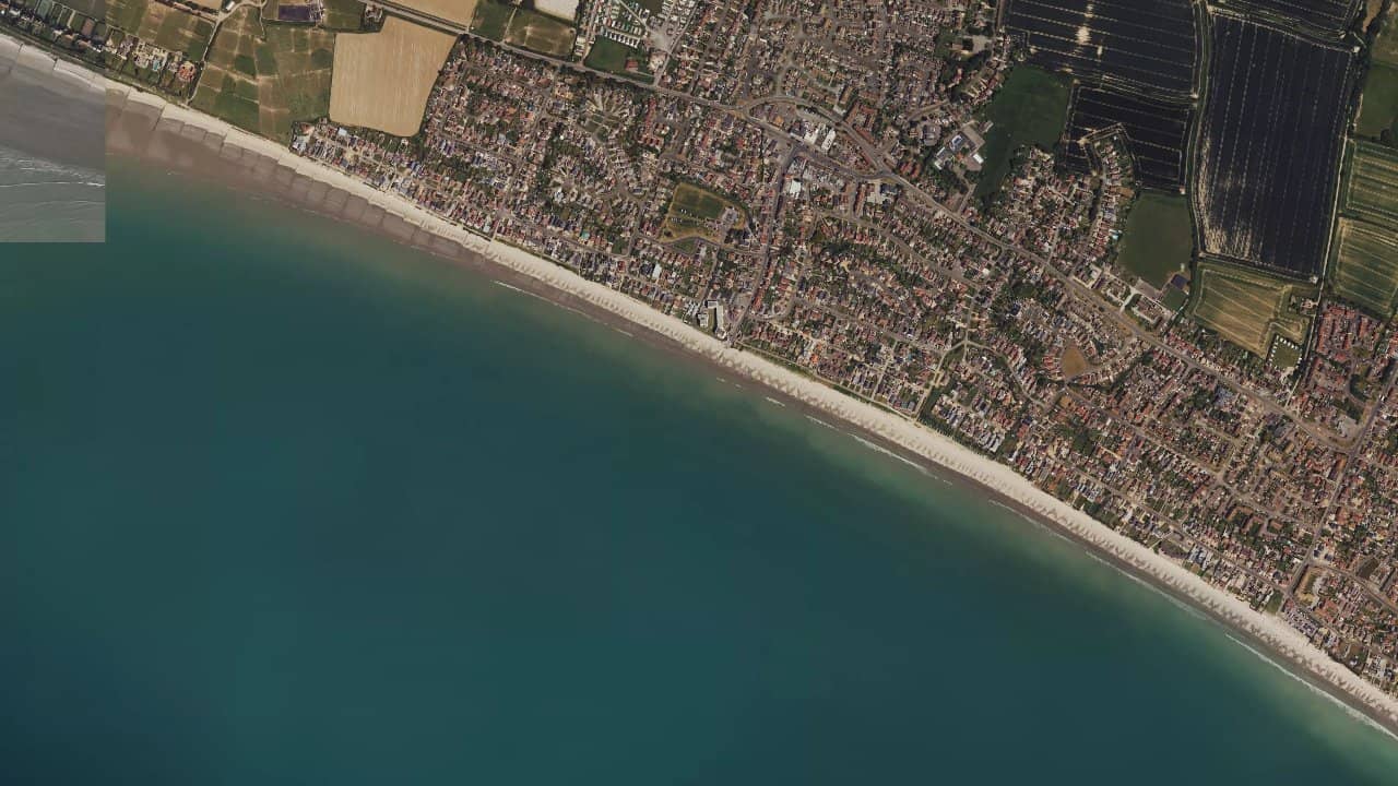
East Wittering Beach
Royaume-Uni · England
East Wittering Beach, on the south coast of England, is a popular spot for its long stretches of sand and easy access from the village. It is frequented by local riders when the wind is well established.
The spot mainly works with a fairly clear sea and modest to medium swell. The atmosphere generally remains simple and straightforward, with shared use between kitesurfing, windsurfing, and surfing depending on the conditions.
متوسطات تاريخية شهرية — ليست توقعات مباشرة.
East Wittering Beach works best with a side-on to offshore wind relative to the beach, especially when it comes from the northeast or north-northwest. Surf and kite sources indicate that the spot is a sheltered beach break with sandbanks and groynes, making it a more consistent spot when the wind is clean and the swell is well oriented. The best sessions often occur at mid-tide or around the rising high tide for surfing, but several kite guides also report that the spot becomes more interesting at low tide or on the ebb, as the navigation area clears more of the obstacles close to the shore. The launch areas are located on the sandy beach, with caution, as the wooden alignments and narrower sections can complicate launching when the tide is high.
The water surface is generally flat to slightly choppy in kitesurfing, with sometimes a small shorebreak or short waves when the swell comes in. At low tide, the water becomes more usable for freeride and kite control, while at high tide the spot takes on a more technical character due to the reduced space and submerged obstacles. Navigation mainly occurs along the beach break, keeping a margin with the groynes and return corridors to the shore. The spot is accessible, but it remains more comfortable for a rider who knows how to manage launches and returns in a shallow and sometimes irregular environment.


 افتح توقعات Windguru