Brightlingsea Beach
Royaume-Uni · England
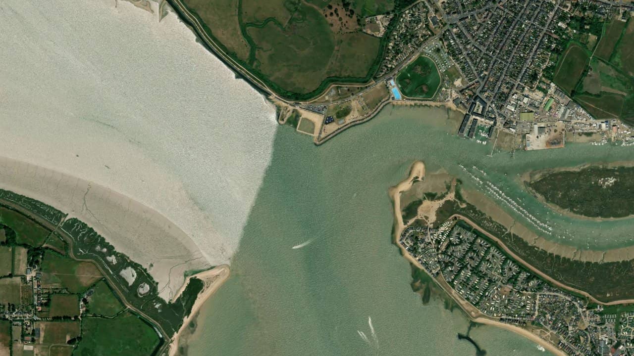
Brightlingsea Beach, in Brightlingsea, Essex, is a coastal spot that mainly attracts riders when the wind conditions are well established. It is a popular area for its varied navigable zones and relatively easy access from the seafront.
The spot functions as a rather technical session location, with a tidal spot atmosphere and conditions that change quickly depending on the water level. Riders come here mainly to enjoy a practical water surface to exploit when the wind is well oriented.
The spot is suitable for practitioners who know how to read the tide and choose their starting area carefully. Overall, it is more interesting for navigation framed by local conditions than for a completely improvised session.
متوسطات تاريخية شهرية — ليست توقعات مباشرة.
The spot is generally most interesting with a wind from NW to W, which often comes from the side or slightly side-on depending on the beach's axis. In this type of configuration, one obtains cleaner and easier navigation than with a wind that is too cross or too unstable.
The water surface depends a lot on the tide and the location where one is navigating. According to available feedback, there are flatter areas in the creeks and more exposed sectors towards the estuary, with a bottom mixing sand and mud depending on the areas. This creates a useful spot for working on transitions, but one must choose their navigation area carefully.
Launching is done from the shore or from access points near the seafront, with a takeoff area that must remain clear to limit risks related to gusts and obstacles. The spot requires careful identification of navigation areas before sending, as the port and estuarine environment can alter wind quality near the shore.


 افتح توقعات Windguru