Ainsdale Beach
Royaume-Uni · England
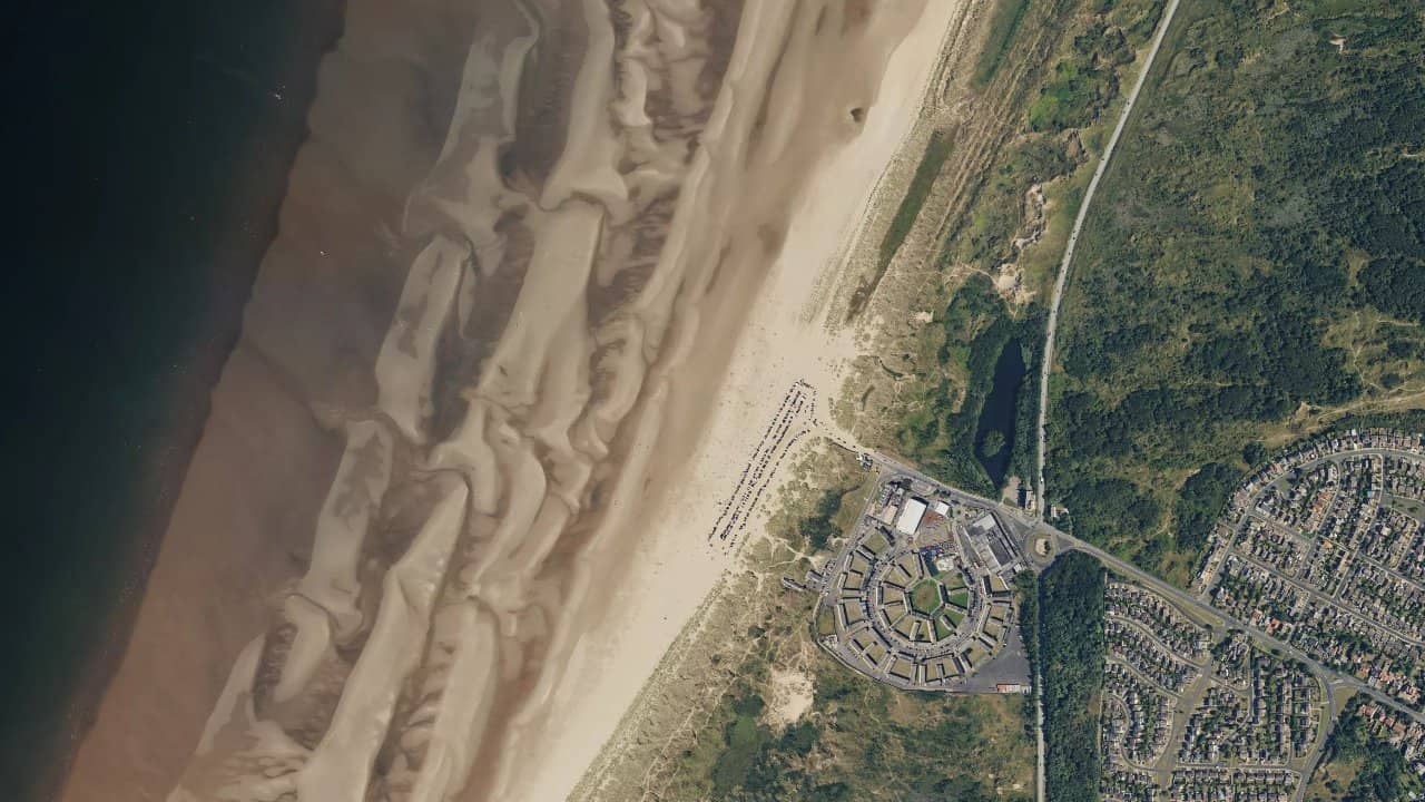
Ainsdale Beach, in Ainsdale-on-Sea, is a long open beach on the Merseyside coast, known for its wide spaces and very sporty atmosphere. It is a spot appreciated by local kitesurfers for its dedicated areas for traction activities and its easy-to-read layout.
The beach is mainly sought after when the wind comes in well from the west to northwest, with navigation often accessible at different tide phases. The site remains frequented by riders looking for a wide, practical, and fairly consistent setting to navigate without unnecessary complications.
متوسطات تاريخية شهرية — ليست توقعات مباشرة.
The spot mainly works with a wind from the W to NW, and several kite guides also cite nearby orientations such as SW, WSW, WNW, and NNW as exploitable depending on the day's configuration. The beach generally offers navigation between flat, chop, and small waves, with a smoother water surface when the tide forms a shallow lagoon at mid-tide. The best operation is often reported at mid-tide to low tide, with particular caution around 2 hours before and after high water according to local guides.
Launching is done from the large sandy beach, with plenty of space to prepare the kite and take off, which limits congestion when the beach is not too crowded. Ainsdale is also known for its designated areas for traction activities, which helps separate uses and maintain clear organization on the sand. The bottom is sandy and the spot is often described as shallow over a large part of the navigable area, which facilitates access for riders comfortable with the tides. Conditions vary quickly with the water level, so it is necessary to adapt the navigation area to the current tide and avoid straying unnecessarily when the water surface tightens.


 افتح توقعات Windguru