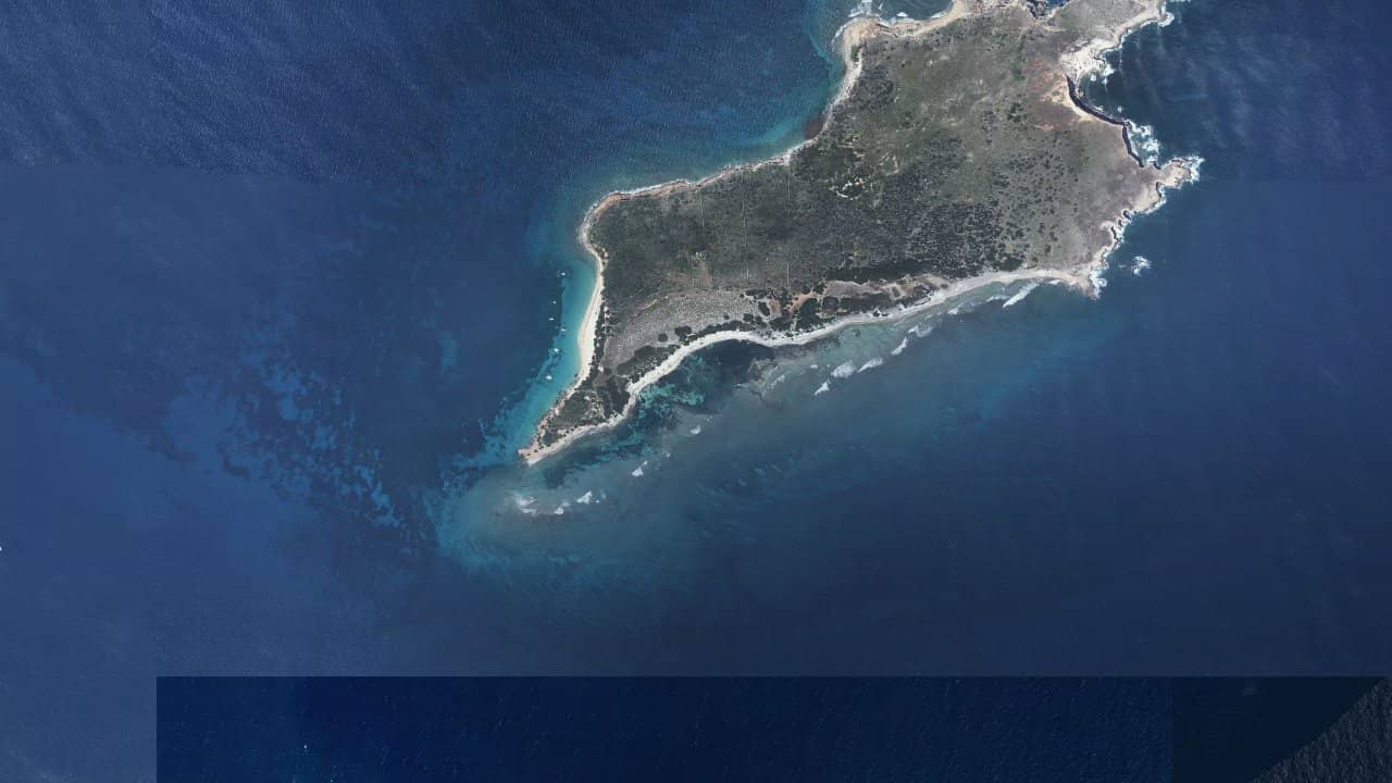
Plage de la Lagune de Tintamarre
Saint-Martin · Saint Martin (France)
The Tintamarre lagoon, in Saint-Martin, offers a protected sailing environment off the eastern bay. It is a spot appreciated for its easy-to-read water and for sessions starting from a well-sheltered area.
People come here to sail in a calm environment, with a more wild atmosphere than on the island's most frequented beaches. The spot mainly attracts riders looking for easy access to a flat and consistent sailing area.
متوسطات تاريخية شهرية — ليست توقعات مباشرة.
The spot mainly works with wind from the east to northeast, most often in side-on or side-shore depending on the exact orientation of the launch beach. The exploitable area is located in the protected lagoon, with a rather flat water surface sheltered from the island's reliefs. Available sources indicate that Tintamarre is an ideal starting point for a crossing to Orient Bay, confirming that the spot also serves as a freeride area on calm water.
Launching generally takes place from areas accessible by boat or from a starting point by the bay, then navigation occurs in a relatively protected space. The launch area must remain simple and clean, as the environment is more constrained than a large open beach. In established conditions, the spot remains accessible, but one must keep margin for course changes, boat passage, and distance from the shore.
The water surface changes little with the tide in the most sheltered part, but the water level can modify passage areas and shallow zones along the banks. The spot is more suited for freeride navigation than for wave work, even if some sources also report a more lively component offshore from Saint-Martin in neighboring sectors. For an autonomous rider, the main interest remains flat navigation and the possibility of chaining long runs in an isolated setting.


 افتح توقعات Windguru