Lagune du Havre-aux-Basques
Canada · Quebec
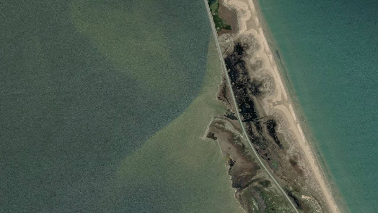
The Havre-aux-Basques lagoon, located in the Îles-de-la-Madeleine in Quebec, Canada, offers a unique setting between the sand dunes and openings to the sea. It is a spot beloved by locals for its steady wind and relaxed atmosphere. The shallow water area, with a thermal phenomenon from the southwest wind, is ideal for speed kitesurfers with west-southwest wind.
Kitesurfers stay in the shallower area, on the left side and further back in the lagoon, while windsurfers prefer the deeper water located on the right. The designated parking is at the end of Chemin du Sable, and it is important to respect the identified area to facilitate navigation.
Médias históricas por mês — não é uma previsão ao vivo.
The dominant wind is from the southwest (SW) for the thermal phenomenon, and from west-southwest (WSW) for the ideal speed spot. The wind direction relative to the beach is side-shore to side-on, allowing for smooth navigation. The water surface is flat at low tide, with areas of chop at high tide depending on the tides. The navigation areas include the shallower zone on the left side of the lagoon for kitesurfers, and the deeper zone on the right side for windsurfers. The launch area is at the designated parking at the end of Chemin du Sable, and the take-off zone is clearly marked to facilitate navigation.


 Abrir previsões Windguru